Trailblazers: TU anthropology team helps NPS sites get "connected"
TU anthropology professors and students use modern approaches to help a 100-year-old federal agency forge paths to the future
By Christine Collins on November 1, 2016
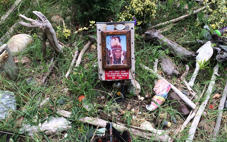
From cliffs to canyons, everything about national parks seems ancient, majestic, storied—and distant. Most of us don’t even know there are 28 National Park Service (NPS) sites in Maryland alone.
As the National Park Service celebrates its centennial, Towson University is helping it understand who uses its sites, and how. Anthropology professors Matthew Durington and Samuel Collins are leading a collaborative, curriculum-based, student-involved study of NPS’ Potomac Heritage Trail. The study could give the historic park service a picture of its next 100 years with the help of one very modern research tool: networked anthropology.
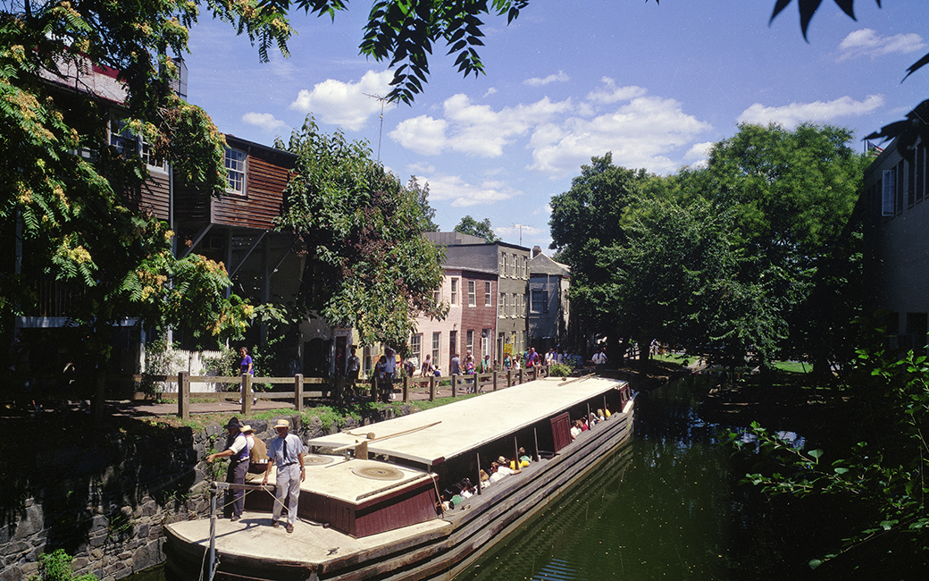
“Our methods work here because this is an urban trail,” explained Collins. “People live on this trail. This is a relatively densely settled part of the U.S. Harper’s Ferry is basically part of [Washington,] D.C. now.”
Durington said the trail that winds through parts of Maryland, Pennsylvania, Virginia and Washington, D.C., is both a place and a series of connections. People connect to the trail when they plan a trip, visit, post photos, and share events. They also connect with each other through the trail, via social media groups and clubs that focus on the way they use the area. They connect to other trails, parks, institutions and groups through the use of the trail, too.
“All of the various platforms form connective tissue that unites all of these people, places, institutions and histories,” said Durington. “And since they’re all computer mediated, we can use a variety of digital tools to trace these connections, and analyze the results.
NPS saw the potential in understanding the ways these connections form and overlap, so it provided a grant for the professors and 10 TU anthropology students to study them. The results may mean more effective and efficient signage, resources, services, fundraising strategies and other purposes.
For the students, it means comfort and experience using cutting-edge technology to advance research design—skills that are highly valued after college.
In the spring and summer, TU students conducted field research, scoping out trail locations and their visitors. Abby Quinn ’16 researched the Potomac Riverkeeper network to learn why riverkeepers chose to highlight certain locations over others, what they posted on social media about them, and how it dovetailed with or differed from casual visitors’ impressions.
“I was excited to get out to a site and actually see how the Potomac River, the Potomac Heritage Trail, and the parks built around them influence communities and vice-versa,” Quinn said.
She was particularly interested in how the wealth levels in surrounding communities contributed to the way the park was used and maintained. She realized that, in Montgomery County, Maryland, which borders Washington, D.C., there are a lot of Latino/a visitors to the trail area, but the signs are all only in English. She also saw that the spaces between the communities and the Potomac River were mostly accessible only by car, which means those who don’t own a car can’t use the space.
“Although these parks are technically public, they often maintain a certain level of exclusivity that I had never noticed,” she said.
In Shepherdstown, West Virginia, “there were zero signs directing people to the [C&O Canal] trail,” noted Riley Battaglia ’16, another student researcher on the project. He said his field research revealed that, while Shepherdstown is home to a college and has a vibrant, multi-generational scene, the branch of the Potomac Heritage Trail that runs through it catered almost exclusively to cyclists and runners who are just passing through on their way to somewhere else. Local businesses capitalized on that, but Battaglia thought there was a missed opportunity. The town was focused on drawing traffic off the trail into its businesses, but no one was focused on driving people from the town onto the trail—and, by association, into their businesses. Plus, no one he spoke with seemed to realize that the C&O Canal Trail was a national park site. Some had never even heard of the Potomac Heritage Trail, despite the C&O Canal Trail being part of it.
“There’s kind of a culture in that town of healthy lifestyles and supporting local businesses. Find the people in the community,” he recommended, “and make them resources just like they’re making your trail a resource."
This field research jives with the social media anthropological mapping that Durington and Collins have pioneered because the analysis describes not only where the connections exist but also where they don’t. Whether it’s analyzing hashtag use, location check-ins, photo posts, page likes, or some other networked connection, the professors believe the linkages demonstrate areas for growth as the National Park Service modernizes. After all, the difference between anthropology and networked anthropology, said Collins, is that anthropology shows an organization what it has been, while networked anthropology shows what it can be.
“This stuff is useful for any business. Do you know how many people are doing user-centered design? If you aren’t doing something that interacts with the community, you’re nowhere.”
The students have now finished their part of the research. Durington and Collins are working on the social media mapping element. Soon, they’ll report all of it to the National Park Service. They’ll start presenting their research in spring 2017.